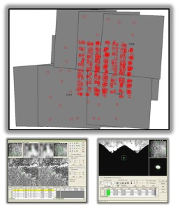
ERDAS Imagine LPS is a well-established, robust photogrammetric processing package for aerial and orbital imagery. Nearly every orbital sensor is supported with rigorous camera model information, and for most other sensors (e.g. GeoEye-1), Rapid Polynomial Coefficient (RPC) processing is also supported. LPS can be used to triangulate image blocks, measure breaklines (in 2D or 3D), generate surface models (DEMs), and/or export orthoimages.
