The GMV was developed as a comprehensive source for workflows, checklists, and setup operations for data acquisition and processing from sources such as photogrammetry, three-dimensional scanning and related technologies.
The GMV’s back-end organization is key to providing information that is easily accessible to users. Extensive cross-referencing of articles along with keywords (tags) and category organization is applied to every workflow, checklist and setup operation to make sure that each article can be found easily and any association it might have with another article is clearly listed.
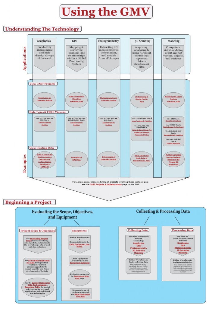
Interactive Guides, such as the one below, can be found on the main overview page for each technology. These guides are intended to show the most common processes and the order in which they are typically carried out, linking to specific articles and series of articles on the GMV.
Click on the image below to activate the interactive guide. Links to specific examples and articles will
become clickable upon zooming.
Searching & Tags
A standard Search function is available at the top right of every page. Type in any term that might be relevant and a list of returns are displayed.
Also at the top right of every page, you will find a Find by Tags option. Tags are keywords associated with each article. Tags allow for more cross-referencing of the article and associating it to multiple articles independent from categorizing.
Categories
The main links at the top of each page provide information about each technology, expanding to display sub-sections with an overview of the technology, data/project examples and details on the hardware (with specs about equipment) and software used in the articles. Articles are all workflows, checklists, setup operations and any other information appropriate to the hardware or software listed. Articles are organized into five categories (please see the the complete archive for each linked below):
Geophysics, GPS, Modeling, Photogrammetry, and Scanning
Series
At the bottom of most articles, you will find the Series Information. This shows the name of the series and the current article’s place within the series. A series is used whenever multiple articles describe a longer process and indicates the order in which the steps are typically carried out. Some of the most commonly applied collection and processing steps are shown in the interactive guides located on the main page of each technology.
Printing
Many of the articles provided need to be viewed while working with the instrument out in the field or away from a computer. We’re building a collection of print friendly versions of the posts, which you can find in the PDF Repository.
Data
Data collected with the instruments listed has been provided where feasible. Data collected ranges from 3D point cloud data to GIS data from several regions around the world. Data can be browsed by technology in the top links or explored by region on the Data and Projects map.
Where applicable, links to free data viewers have been provided with each data set.