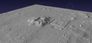
CAST has been involved in projects using both traditional, soft copy photogrammetry, and more recent techniques including structure from motion photogrammetry.
Check out some of CAST’s photogrammetric projects, linked here.
Photogrammetric Data Sets:
Photogrammetric data sets are provided here for public use. Use of these data sets, under the creative commons license, is intended to introduce the concepts of photogrammetry and the data produced from photogrammetric processes, and to allow users to become familiar with the software covered on this site. Data sets are provided for close-range (UofA campus) as well as digital and historic aerial projects (UofA campus, Tiwanaku). See the individual project pages below for more information on each data set.
Photogrammetric Data Sets Available:
University of Arkansas, Fayetteville
Includes digital aerial imagery for the UofA campus and close-range stereo images for the UofA Senior Walk.
Tiwanaku, Bolivia
Historic aerial photography for the Tiwanaku ceremonial core.
Saqsaywaman, Peru
An example of low resolution, oblique aerial photography over a well known archaeological site near Cusco, Peru.
Knowth, Brú na Bóinne, Ireland
An example of rapid, close-range photogrammetry on a well known archaeological site.
Gabii Project, Italy
An example of close-range photogrammetry used to document archaeological excavations.

