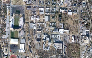
2010 Collection of digital aerial imagery over UA Campus
In the winter of 2010, three-band color aerial imagery was captured by Eagle Forestry Services, Inc. (Monticello, AR) over the University of Arkansas campus and surrounding areas using an Applanix DSS-439 digital sensor. This digital imagery (and appropriate metadata) was delivered to CAST and photogrammetrically processed to create a mosaicked orthoimage.
Download a sample of these images (and metadata) here and follow the workflows for photogrammetric processing in LPS or PhotoScan Pro.
2012 Senior Walk close-range photogrammetry survey
Etched in the sidewalks stretching across the UofA campus are the names of every graduate that has received his or her degree. Collectively, this is known as Senior Walk and is the longest standing tradition at the University. The oldest portions of Senior Walk extend to the east from the east-facing side of Old Main, the oldest building on campus, and were hand written (before the advent of the “Sand Hog” machine).
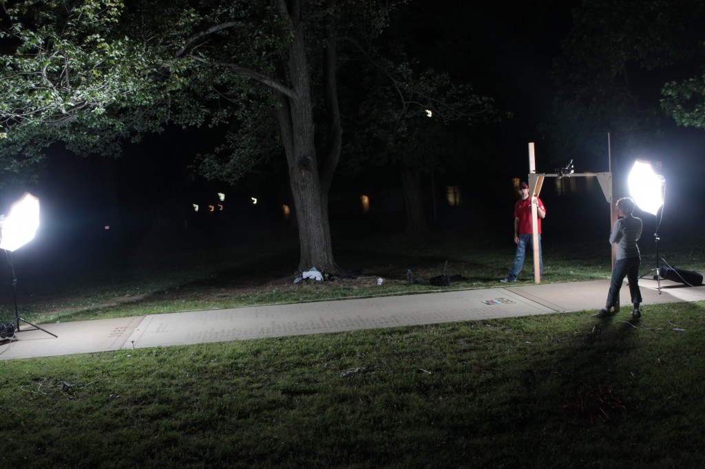
In order to document the oldest sections, high-resolution stereo photography was collected using the Canon 5D Mark II DSLR camera and a 28mm lens. The camera was mounted to a custom built wooden ‘bipod’ which allowed for the collection of vertical style photography from a height of ca. 2 meters. One section was documented at a time and all images were collected after sunset using two high-power strobes positioned at either end of the section (see image to right).
Download a sample of these images (and metadata) here and follow the workflows for photogrammetric processing in PhotoScan or PhotoScan Pro.
Mapview of the datasets.
View this in a larger map
Please note. This data is distributed under a Creative Commons 3.0 License (see http://creativecommons.org/licenses/by-nc/3.0/ for the full license). You are free to share and remix these data under the condition that you include attribution as provided here. You may not use the data or products in a commercial purpose without additional approvals. Please attach the following credit to all data and products developed there from:
Credit: Center for Advanced Spatial Technologies, (University of Arkansas) and Eagle Forestry Services, Inc. Monticello, Arkansas.
Longer version: Data collected on December 10, 2010 by Eagle Forestry Services, Inc. Monticello, Arkansas. Data distributed by the Center for Advanced Spatial Technologies.

