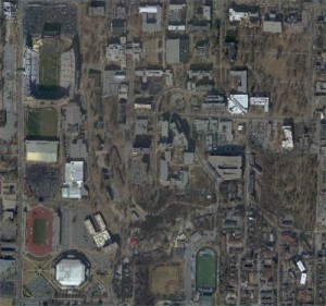
Data collected on December 10, 2010 by Eagle Forestry Services, Inc. Monticello, Arkansas
For the geotiff (TIF) format, we recommend the free viewerArcGIS Explorer Desktop. This free GIS application provides ways to explore and share GIS data.
campusmosaic_2010_se.TIF (~338 mb)
~ 6 inch resolution, fully orthorectified imagery using the Trimble Digital Sensor System (DSS). UTM Zone 15N coordinate system and WGS84 datum.
Please note. This data is distributed under a Creative Commons 3.0 License (see http://creativecommons.org/licenses/by-nc/3.0/ for the full license). You are free to share and remix these data under the condition that you include attribution as provided here. You may not use the data or products in a commercial purpose without additional approvals. Please attach the following credit to all data and products developed there from:
Credit: Center for Advanced Spatial Technologies, (University of Arkansas) and Eagle Forestry Services, Inc. Monticello, Arkansas.
Longer version: Data collected on December 10, 2010 by Eagle Forestry Services, Inc. Monticello, Arkansas. Data distributed by the Center for Advanced Spatial Technologies.
