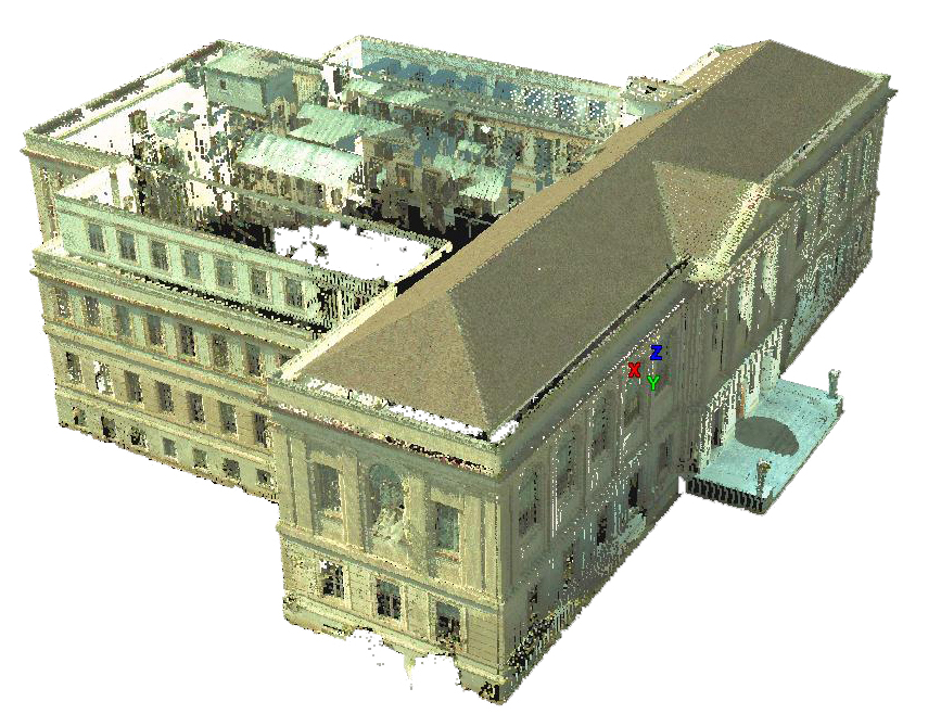
 Working with the University of Arkansas’ Facilities Management and Planning Departments, CAST is documenting the historical Vol Walker Building and its renovation. Here are merged scans of the exterior of the building which were collected with the Leica C10 Scan Station scanner. The project includes multiple floors within the building interior as well as the building exterior.Exterior scans were collected with a point spacing of approximately 5-10 cm. Interior scans were collected with a point spacing that ranged from less than a centimeter at the most dense (at a range of < 1 meter) to approximately 5 cm at the least dense (at a range of 25 meters). These scans were then reduced to a more consistent point spacing of 1 cm for potential future use in historical preservation documentation. The data sets have been separated due to file size and data density.
To explore the data set, we recommend Lecia TruView and Internet Explorer. The data is in .xyz ascii file format. For a complete list of links to the Leica TruView data related to this project, and for instructions on using TruView, please see: Accessing Vol Walker Interior TruViews
View Univeristy of Arkansas in a larger map
Please note. This data is distributed under a Creative Commons 3.0 License (see http://creativecommons.org/licenses/by-nc/3.0/ for the full license). You are free to share and remix these data under the condition that you include attribution as provided here. You may not use the data or products in a commercial purpose without additional approvals. Please attach the following credit to all data and products developed there from:
Credit: Center for Advanced Spatial Technologies and Facilities Management, Operations and Maintenance and Campus Planning Divisions, (University of Arkansas)
Longer version: Data acquired with support from NSF funded CI-TRAIN project. Data processed and distributed by the Center for Advanced Spatial Technologies.