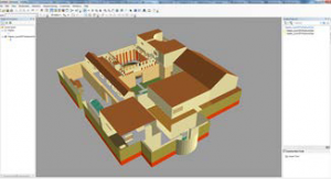
Modeling software used at CAST can be broadly divided into programs designed primarily to handle data and models coming from surveys and programs designed for desktop modeling to create realistic (or very unreal!) scenes. ESRI ArcGIS , PCI Geomatica , ERDAS IMAGINE , AutoCAD/Revit , and Leica Software , are all geared primarily toward building models from surveyed, measured datasets. On the other hand Sketchup and Unity are designed primarily for creating models ‘from scratch’. Rapidform is a cross-over, with many tools for doing both tasks.
The software you use for your project will depend on factors including the source of your data, the individual modeling tasks you need to accomplish and, of course, the ultimate goals of the project. For example, if quantifying geometric accuracy in your models is the most important task, you might want to work primarily with AutoCAD/Revit or Leica Software . Alternatively, if navigability is a priority, then you might want to consider Unity as your main program. Many projects will use multiple software programs, making thinking about things like file formats very important.
Learn more by reading about individual software packages or checking out the modeling datasets pages.
