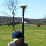
This page is a guide for acquiring external control for close range photogrammetry using Trimble survey grade GPS.
Hint: You can click on any image to see a larger version.
[wptabs mode=”vertical”]
[wptabtitle] Prepare for Survey[/wptabtitle]
[wptabcontent]
- Begin metadata process
- Choose a method for documenting the project (e.g. notebook, laptop)
- Fill in known metadata items (e.g. project name, date of survey, site location, etc.)
- Create a sketch map of the area (by hand or available GIS/maps)
- Choose and prepare equipment
- Decide what equipment will best suite the project
- Test equipment for proper functioning and charge/replace batteries
[/wptabcontent]
[wptabtitle] Equipment Setup[/wptabtitle]
[wptabcontent]
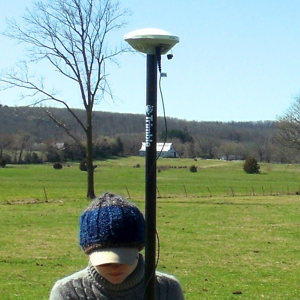
- Base station
- Setup and level the fixed height tripod over the point of your choice
- Attach the yellow cable to the Zephyr antenna
- Place the Zephyr antenna on top using the brass fixture and tighten screw
- Attach the yellow cable to the 5700 receiver
- Attach the external battery to the 5700 receiver (if using)
- Attach the data cable to the TSCe Controller and turn the controller on
- Create a new file and begin the survey
- Disconnect TSCe Controller
- Rover
- Put two batteries in the 5800
- Attach the 5800 to the bipod
- Attach TSCe Controller to bipod using controller mount
- Connect data cable to 5800 and TSCe Controller
- Turn on the 5800 and controller
- Create a new project file (to be used all day)
[/wptabcontent]
[wptabtitle] Collecting Points[/wptabtitle]
[wptabcontent]
- Have documentation materials ready
- As you collect points, follow ADS standards
- Base station
- Once started, the base station will continually collect positions until stopped
- When you’re ready to stop it, connect the TSCe controller to the receiver and end the survey
- Rover
- When you arrive at a point you want to record, set the bipod up and level it over the point
- Using the controller, create a new point and name it
- Start collecting positions for the point and let it continue for the appropriate amount of time
- Stop collection when time is reached and move to next position
[/wptabcontent]
[wptabtitle] Data Processing[/wptabtitle]
[wptabcontent]
- Have documentation materials ready
- As you process the data, follow ADS standards
- Transfer data
- Use Trimble Geomatics Office (TGO) to transfer data files from the TSCe Controller and the 5700 receiver to the computer
- Calculate baselines
- Use TGO to calculate baselines between base station and rover points
- Apply adjustment and export points
[/wptabcontent]
[/wptabs]