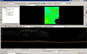
CAST researchers and student assistants developed a hydro-enforced DTM (Digital Terrain Model) covering the Bayou Meto watershed, in collaboration with the NCRS and Arkansas Natural Resources Commission. The classification of the raw ALS data, interpolation to basic bare-earth terrain models, the creation of breaklines and streamlines for hydro-enforcement, and the refinement of final hydro-enforced models were carried out at CAST.
Data for this project was collected by Aeroquest in 2009 and 2010 for two areas within the Bayou Meto, at a nominal resolution of 10 pts/m2. The TIFFS and LP360 software packages were used to process the discrete return ALS data and to assist in breakline production.
For more information, see the main project webpage.
