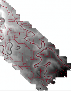
[wptabs mode=”horizontal”] [wptabtitle] DTMs[/wptabtitle] [wptabcontent]ALS data can be used to create a number of products based on elevation data. The most common ALS product created is the bare earth DTM. The bare earth DTM provides the basis for analyses in hydrology, flood risk mapping, landslides, and numerous other fields.
Hydro-enforced DTMs include breaklines, importantly stream centerlines and edges, and breaklines delimiting standing water bodies such as ponds. While auto-extraction of breaklines is improving, the creation of hydro-enforcing features is still by and large a manual task.
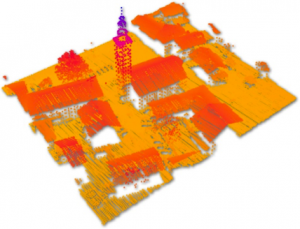
[/wptabcontent][wptabtitle] DSMs[/wptabtitle] [wptabcontent]Digital Surface Models (DSMs) can include only returns from the terrain, buildings and specific classes of off-terrain objects like bridges, or can also incorporate returns from vegetation. DSMs are commonly used in urban environment analyses such as noise pollution modeling and inter-visibility analyses to assess the impact of new building.
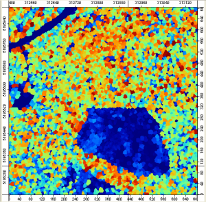
[/wptabcontent][wptabtitle] CHM[/wptabtitle] [wptabcontent]Canopy height models, and per-stand or individual tree metrics are important ALS-based products for forestry applications. These models often include returns separated into low- mid- and high- vegetation classes, and are sometimes normalized based on local terrain heights to facilitate comparisons between different forest areas.
[/wptabcontent]
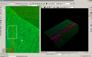
[wptabtitle] Contours[/wptabtitle] [wptabcontent]Contour maps at standard intervals, e.g. 1m, 5m, or 20m contours, can be generated from bare earth DTMs. Contour maps can be generated with or without breaklines.
[/wptabcontent] [/wptabs]


